Cold front delivers rain to eastern plains and heavy snow to mountain passes
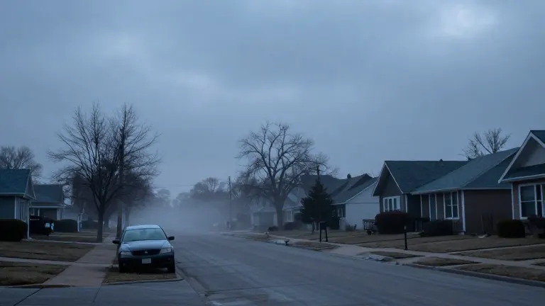
Temperatures will drop sharply as the system moves through, with rain turning to snow in higher elevations by Wednesday night.
By Madison Lewis ·
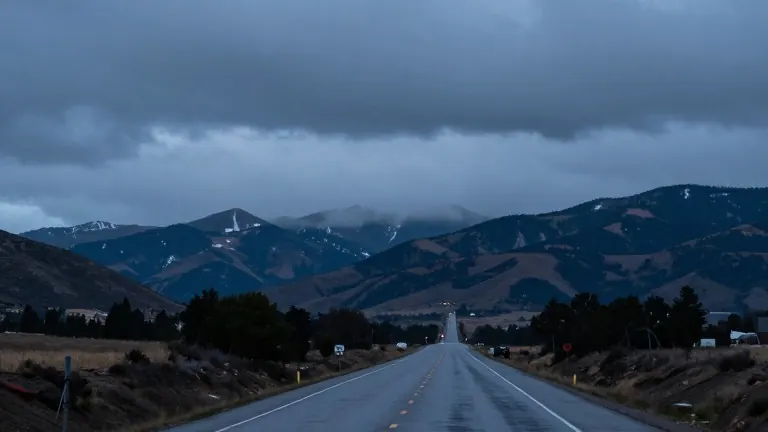
A fast-moving cold front will bring precipitation to Southern Colorado late Wednesday evening, marking the end of a mild stretch for many residents.
The front arrives from the north, pushing clouds across the region during the afternoon. Rain showers will develop along the Continental Divide by late Wednesday afternoon. These showers will then push south across the eastern plains and the I-25 corridor into Wednesday night. High mountain passes are expected to see heavy snow accumulations. Lower elevations will remain mostly liquid. Colorado Springs may see light snowflakes, but no accumulation is predicted.
Temperatures will fall as the front passes. In Colorado Springs, the high will reach 51 degrees before the low drops to 33 degrees. Pueblo will see a high of 54 degrees and a low of 35 degrees. Canon City will also reach a high of 54 degrees, with a low of 34 degrees. Woodland Park will see a high of 48 degrees, with temperatures falling into the 20s by the time showers develop in the afternoon. The precipitation in Woodland Park will transition to a light rain and snow mix as temperatures drop.
Wind patterns will shift with the arrival of the front. Breezy northerly winds will arrive as the system moves through the area. North winds in the eastern plains will relax through the evening of Tuesday. Lows on Tuesday night will drop into the 30s across much of the plains. The San Luis Valley and mountain valleys will see lows in the 20s.
The weather system is fast-moving, which limits the duration of the precipitation. Showers are expected to exit early Thursday morning. Clearing skies and dry weather will follow, with high temperatures in the 50s to low 60s for lower elevations. A weak trough may bring spotty mountain snow showers to the Central Mountains on Friday afternoon, but the impact is expected to be minimal.
The extended outlook points to breezy and dry weather for the weekend under high pressure. A steady warming trend will take hold into early next week. Mostly sunny skies are forecast, with unseasonably mild highs pushing into the 60s and near 70 across the plains through Tuesday.