Kansas City Braces for Chilly Stretch Before Weekend Warm-Up
Temperatures will stay in the 50s for days, with frost possible in outlying areas before a warm front arrives.
By Madison Lewis ·
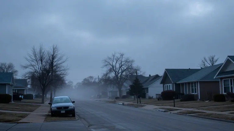
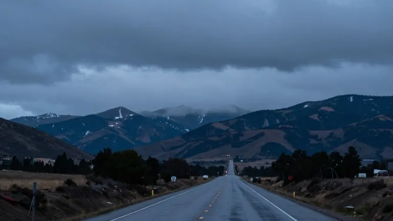
Cold air has settled over Kansas City, bringing a multi-day period of damp and chilly weather. The rain has stopped, but residents should expect lower temperatures and thick cloud cover through the end of the week.
Wednesday begins with a high near 50 degrees under a heavy layer of clouds. Drizzle is possible early in the morning. As the day progresses, clouds will break from southwest to northeast, allowing sunshine to reach most of the metro area by nightfall. Northern Missouri may remain cloudy longer. A west wind of 10 mph, gusting to 20 mph, will create a wind chill effect.
Thursday will start in the mid-40s with clouds. A front will move through, bringing a low chance of light showers in the morning. Highs will again reach the mid-50s as skies clear in the afternoon. Friday will be cooler, with highs near 50 degrees and partly cloudy skies.
Nights will grow colder. Lows on Saturday morning will drop into the mid-30s. Patchy frost is possible in outlying areas. Saturday will feature sunshine and highs in the low 50s. Sunday will warm to the low or mid-60s with plenty of sun, providing suitable conditions for game day activities.
The warming trend will continue into early next week. Dry weather is expected, with highs in the mid to upper 60s on Monday and Tuesday.